It was announced recently that the Indian Space Research Organization (ISRO) is organizing a 5-Day certificate course for all students studying in class 10th, 11th, and 12th. The last date to apply is 20th July 2021.
The program is called “Usefulness of Remote Sensing and GIS for Environmental Studies.” The course focuses on the study of remote sensing technology and its use in planet earth and its environment. Using satellite images, the students will be taught the usage of these technologies and their effect on the environment.
This will be a beneficial program for all the students interested in the Science field and will give them a wide idea of the field. This will open a new horizon of understanding, creating, and discovering their passion. It will also be a fun activity for the students who enjoy learning Science and aim to become young scientists.
More Information –
Official Guidelines-
Download offline guidelines.pdf
How to apply –
Step 1 – Visit the official website ( https://admission.iirs.gov.in/coursecalender)
Step 2 – Read the course brochure and guidelines.
Step 3 – Register yourself as a student (https://eclass-intl-reg.iirs.gov.in/schoolregistration)
Step 4 – Upload a photograph and all the other required information.
Step 5 – Submit the application. You will receive login details that can be accessed through the LMS portal.
Step 6 – Do all of this Latest by 20th July.

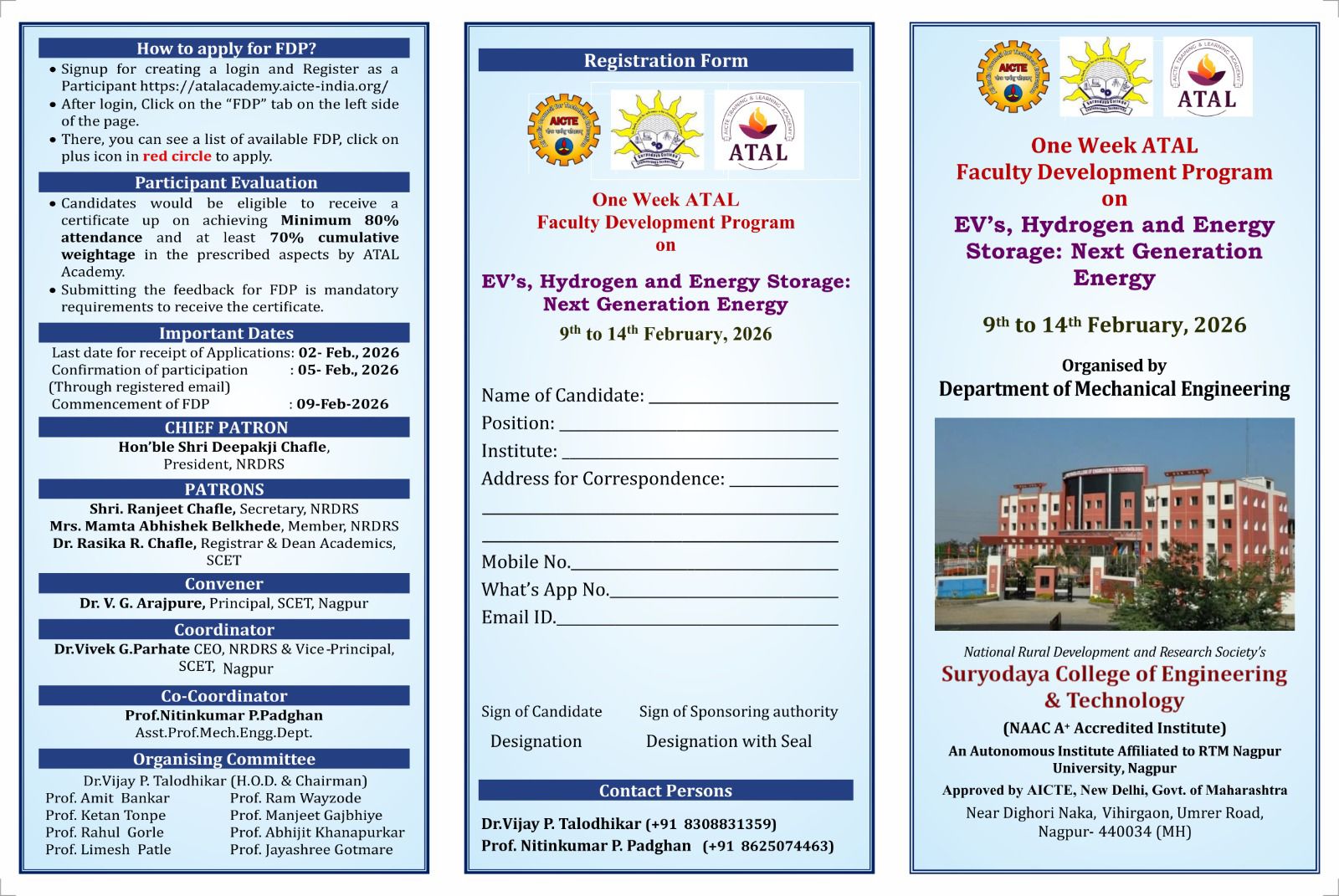
One Week ATAL Faculty Development Program on EV's, Hydrogen and Energy Storage: Next Generation ...
February 6th, 2026

Campus Drive by Collabera for 2023 Batch all branches
Campus Drive by Collabera for 2023 Batch all branches Greetings from Department of Training and ...
November 5th, 2022